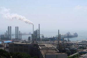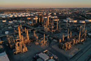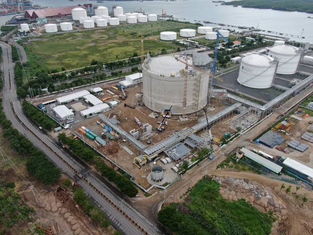
Indonesia is ramping up efforts to expand its hydrocarbon resources with a new airborne survey targeting potential oil and gas reserves in Sulawesi. The Geological Agency announced that the initiative aims to attract fresh investment and enhance exploration across the island.
The survey will focus on the Lariang Basin in West Sulawesi and Enrekang in South Sulawesi, employing Full Tensor Airborne Gravity Gradiometry (FT/AGG) technology. This advanced technique allows scientists to capture high-resolution images of subsurface geology, helping investors identify promising hydrocarbon prospects before committing to costly drilling.
“These basins are highly prospective,” said Edy Slameto, Head of the Geological Survey Center. “Better-quality data will improve investor confidence and support future exploration.”
The survey will cover roughly 33,000 kilometers of flight paths. Fixed-wing aircraft will handle flat terrains, while helicopters will survey the more mountainous regions. The project is expected to conclude in about 35 days, depending on weather conditions. The areas were chosen partly because of their proximity to the Sengkang Basin, a key source of natural gas that powers South Sulawesi’s electricity grid.
In parallel, a 40-day offshore seismic survey is underway in the Gorontalo Basin using China Oilfield Services Limited’s Hai Yang Shi You 760 vessel. This 3D survey seeks to produce detailed subsurface maps to guide future drilling and investment.
Indonesia has identified 128 sedimentary basins nationwide, but only 20 currently produce hydrocarbons. The remaining 108, many in eastern Indonesia, hold significant potential despite the geological challenges, according to the agency.
FT/AGG technology is particularly suited for remote or rugged areas, enabling rapid and cost-effective mapping of subsurface density variations that indicate oil and gas deposits. This approach allows the government and investors to prioritize high-potential sites for further exploration.